


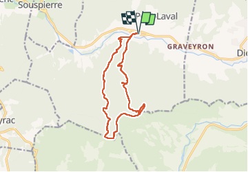

17,3 km | 31 km-effort

Benutzer


Kostenlosegpshiking-Anwendung
 SityTrail
IGN / Geografische Institute
SityTrail World
Die Welt öffnet sich für Sie
Tour Wandern von 14,8 km verfügbar auf Auvergne-Rhone-Alpen, Drôme, Le Poët-Laval. Diese Tour wird von ajd26 vorgeschlagen.
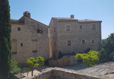
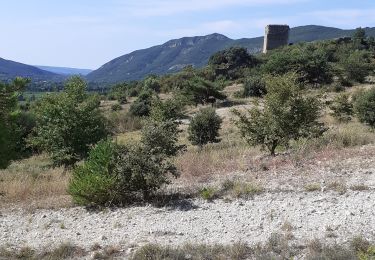
départ de Gougnes (Poet-Laval)
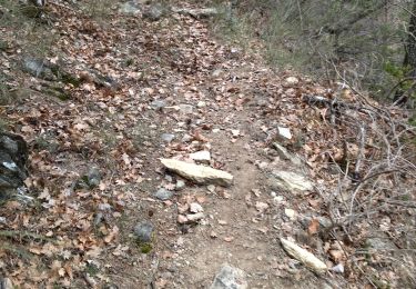
montée très sympa jusqu'au Mont Rachas
on a un peut batailler pour le début du retour (km 9,6) car il y a eu une coupe de bois et des ronces ont repoussé
après km 9,9, on retrouve le chemin du retour très agréable qui passe à Richon


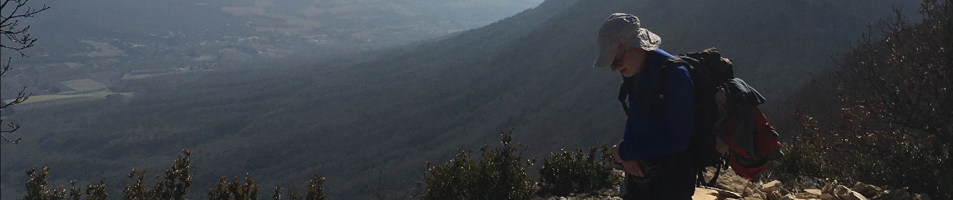
Zu Fuß

Wandern

Wandern

Wandern

Wandern
Wandern

Wandern
Wandern
Wandern